UPDATED: Weather records fell in Alpena last month, data shows

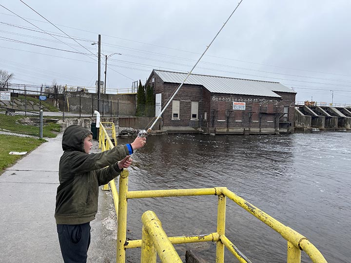
News Photo by Steve Schulwitz Urijh Berton shakes off the light rain while he fishes in the Thunder Bay River on Monday. The weather Monday was similar to the last week of April, but the National Weather Service says more mild conditions are on the way.
ALPENA — A seven-day warm stretch in Alpena last month was enough for April’s average temps to finish well above the norm, National Weather Service data shows.
The area also experienced more rain than normal.
Two high-temperature records were broken, another was tied, and another record was set for daily rainfall that led to precipitation being above average for the month.
There was also more than six inches less snow in April than the long-term average.
A string of nice days that were recorded at warmer than 70 degrees from April 11 to 16 set the stage for the month to end above average for warmth.
On April 12, it was 86 degrees in Alpena, which bested the prior warm temperature record for that day of 81 degrees from 1968. Alpena also had a high-temperature record on April 13, when it was 86 degrees. That prior record was 81 degrees, established in 1941. On April 15, Alpena tied a record when it reached 84 degrees, which equaled the record set in 2010.
The coldest day last month was on April 2, when it was 17 degrees overnight.
For the month, Alpena’s average high temperature was 54.5 degrees, more than two degrees above average, the average temperature was 44.3 degrees, which was well above the 41.2-degree average.
April is known in Northeast Michigan for having at least one significant snowfall, but, this year, that was not the case. Alpena only received 0.2 inches of snow, well below the monthly average of 6.6 inches.
Although there was a lack of snow, rain was no stranger to Northeast Michigan last month. At the end of the month, 4.4 inches of precipitation was measured, which eclipsed the long-term monthly average of 2.93 inches.
Meteorologist Faith Fredrickson said that, since the warm stretch, the weather last month was often gloomy and damp. She said people wanting less rain and more sunshine should get their wish soon.
Fredrickson said temperatures usually begin to warm drastically in May and a warm pattern is coming before this week is through.
The National Weather Service says the average high temperature for May is 65.8 degrees, but nights can still be cool. Northeast Michigan residents can expect periodic rain showers this month, as there is a 2.78-inch average for precipitation.
“The weather is going to improve moving into this weekend, and things will remain quiet for a while,” she said. “But summer won’t really begin to ramp up and get warm until the third week of May or so. Even then, there will still be some cooler days mixed in with the warm.”


